
TL;DR
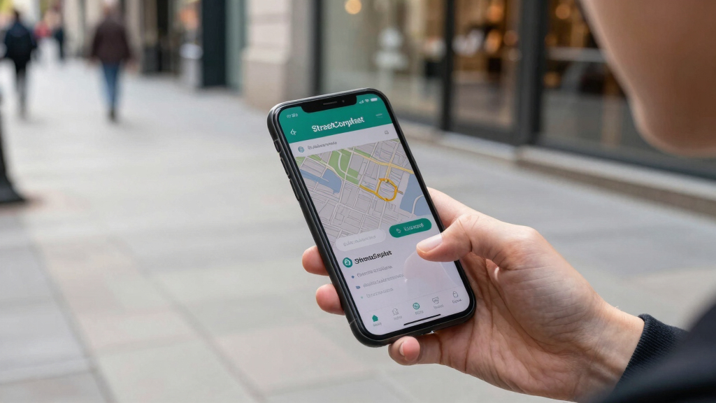
StreetComplete is a mobile app that enables users to contribute to OpenStreetMap through simple, guided quests. It aims to improve map data accuracy by encouraging more user participation. The app’s approach is gaining traction among volunteers and map enthusiasts.
StreetComplete, a mobile application designed to facilitate contributions to OpenStreetMap, is gaining popularity by guiding users through simple, targeted questions—referred to as ‘quests’—that allow for easy map edits. This development is significant because it lowers the barrier for casual users to participate in open mapping efforts, potentially increasing data accuracy and coverage worldwide.
The app provides a series of small, user-friendly prompts that ask questions about local features, such as street names, amenities, or transportation infrastructure. Users answer these questions, and the app submits verified edits directly to OpenStreetMap. According to the developers, this approach makes editing accessible to a broader audience, including those unfamiliar with traditional mapping tools.
StreetComplete was launched in 2018 and has since seen a steady increase in downloads and active users. Its design emphasizes simplicity: users do not need extensive technical knowledge or experience with complex editing interfaces. Instead, they are guided through a series of quests that are easy to complete on a smartphone. The app also includes features to verify data accuracy, such as requesting multiple users to confirm edits.
OpenStreetMap, a collaborative project that relies on volunteer contributions, has historically faced challenges in engaging casual contributors. StreetComplete aims to address this by providing a gamified, approachable way to contribute small but valuable data points, which cumulatively can significantly improve map quality.
Impact on OpenStreetMap Data Quality and Community Engagement
This initiative matters because it could lead to a substantial increase in the volume and accuracy of map data, especially in underserved regions where professional mapping efforts are limited. By lowering the technical barriers, StreetComplete encourages more people to participate, fostering a broader and more diverse contributor community. Improved map data benefits various sectors, including navigation, disaster response, urban planning, and humanitarian aid.
Experts suggest that tools like StreetComplete could become a model for other open data projects, demonstrating how simple interfaces can mobilize a wider base of contributors. As more users contribute consistent, verified data, the overall reliability of OpenStreetMap is likely to improve, making it a more valuable resource globally.
As an affiliate, we earn on qualifying purchases.
Background on OpenStreetMap and Crowdsourcing Efforts
OpenStreetMap has been a major open-source mapping platform since 2004, relying on volunteers worldwide to contribute geographic data. While its collaborative nature is a strength, engaging casual or first-time contributors has been a challenge. Traditional editing tools can be complex, discouraging non-experts from participating.
In recent years, various initiatives have sought to simplify contributions, including mobile apps and gamified platforms. StreetComplete, developed by German programmer Martin Koppenhoefer, is among the most prominent, focusing specifically on small, incremental edits through guided questions. Its approach aligns with broader efforts to democratize data collection and improve coverage in less-mapped areas.
Recent updates to StreetComplete include expanded quest types and improved user interface features, aiming to further streamline the contribution process and encourage sustained engagement.
“Our goal is to make contributing to OpenStreetMap as easy as answering a few simple questions. We want to turn every smartphone user into a map contributor.”
— Martin Koppenhoefer, developer of StreetComplete
Unanswered Questions About Long-Term Impact and Data Verification
It is not yet clear how sustainable user engagement will remain over time or how the quality of contributed data will be monitored at scale. While initial results are promising, long-term effects on map accuracy and community growth are still being evaluated. Additionally, the extent of adoption in different regions, especially in less developed areas, remains uncertain.Future Developments and Potential Expansion of StreetComplete
Developers plan to introduce new quest types and enhance user experience further, aiming to attract more casual contributors. There is also interest in integrating more verification mechanisms to ensure data quality. Monitoring how the app’s usage evolves, especially in regions with limited existing data, will be critical. The OpenStreetMap community and supporters will likely observe these developments to assess the app’s role in global mapping efforts.
Key Questions
How does StreetComplete make mapping easier?
It guides users through simple questions about local features, allowing them to contribute small, verified edits without needing technical expertise.
Who can use StreetComplete?
Anyone with a smartphone can download and use the app, making it accessible to casual users and volunteers worldwide.
Will contributions from StreetComplete be verified?
Yes, the app includes mechanisms for data verification, such as multiple users confirming edits, to maintain map accuracy.
What regions are most likely to benefit from this tool?
Areas with limited existing mapping coverage, especially in developing countries, could see significant improvements as more local users contribute.
What challenges does StreetComplete face?
Sustaining long-term user engagement and ensuring data quality at scale remain key challenges for the platform.
Source: hn